113
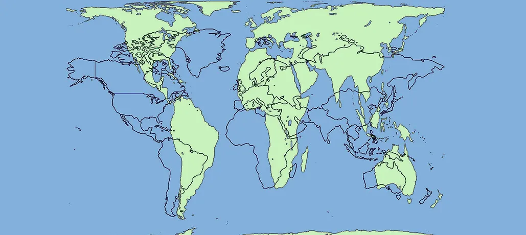
On most maps, the Mercator projection – first developed in 1569 – is still used. This method is wildly inaccurate and makes Alaska appear as large as Brazil and Greenland 14 times larger than it actually is. For a map to be completely accurate, it would need to be life-size and round, not flat.


